How do we apply GPS technology in Blunik co-driver devices?
Le GPS dans les appareils pour copilotes
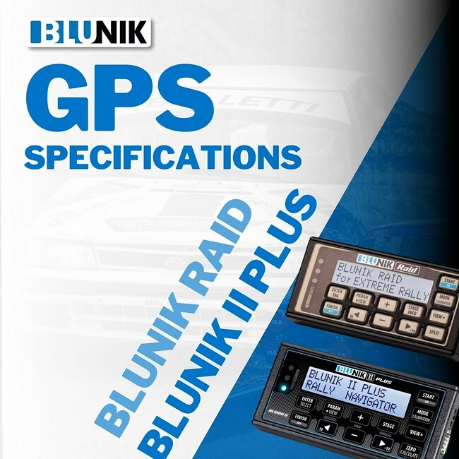
Blunik Raid uses GPS technology, Blunik Trip, Blunik II do not, and the Blunik II PLUS is open to attaching a GPS add-on.
The Blunik-Raid device is a tool for extreme terrain rallies, designed to measure distances in all types of conditions, asphalt, dirt, sand, stone, mud, etc.
Avoiding probes (mechanical points to manage) and avoiding distance measurements when the wheels spin but do not move the vehicle increases the reliability value of distance measurement. In this case, satellite technology adds value.
For extreme terrain raids and rallies, precision in distance measurement is not a key point, so GPS technology fits perfectly, as it allows for distance measurement in decameters without probes.
Furthermore, geopositioning information allows for CAPs navigation functions (orientations and directions) on unpaved routes.
Unlike other GPS co-driver devices, the GPS of the Blunik-Raid has a calibration parameter to readjust to all types of road-books.
On the other hand, the concept of measuring meters in the Blunik II, Blunik II Plus, and Blunik Trip models is precise distance measurement.
It is about measuring the route with meter precision and reproducing the organizer's layout. For this, it is necessary to have probes on the wheels to measure our car's layout to the meter. This way, the device provides accurate meter information which, combined with the driver and co-driver's vision of how they have done the layout, can be managed to fine-tune tenth by tenth, meter by meter.
Some regularity tests on asphalt are precision regularity tests (with timing to the meter and to the tenth of a second); others are less demanding regularity tests, with timing to the second or a GPS chrono. In any case, doing it with maximum precision gives you options to perform well and, of course, options to win.
And finally, as we explained to you at the end of the post "How do we apply GPS technology to timing?", combining and adding measurements with an odometer and GPS is of high value in rallies where teams can do reconnaissance.
GPS add-ons to devices with probes and the addition of good software ensure that GPS data is referenced to specific positions in our Road-book with precise distance measured with probes and with rally calibration, thus providing precise meter correction.
Blunik II PLUS already has its add-on ready, designed by the company E+ Time keeping (Italy), and soon we will also put it on sale on our website.
As always, questions and information by email to info@blunik.com.


